Getting here · by car, bus or taxi
Getting to Regent Avenue West: from the airport, the highways and the city
The hotel's own directions, re-ordered by where you're coming from — each with a Google Maps route to the door.
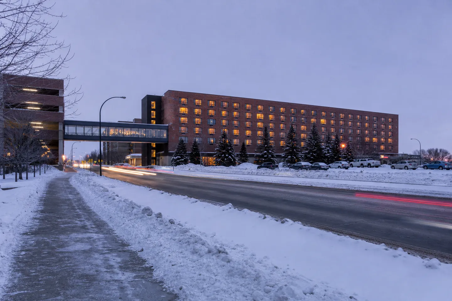
Illustration, not a photograph of the hotel
The address is 1415 Regent Avenue West, Winnipeg, MB R2C 3B2. The casino and Event Centre share the next number, 1425. Canad Inns places the hotel "in Winnipeg's east end"; Wikipedia puts it in Transcona and says it is 15 km — about 25 minutes by car — from the airport. Neither the hotel nor the city publishes a distance to downtown, so I won't either.
Open in Google Maps · Directions from where you are
From Winnipeg's airport (YWG)
The hotel's route: leave the airport on Wellington Avenue to Century Street (Route 90) north, to the Perimeter Highway (Route 101). Take the Perimeter east to Lagimodière Boulevard (Highway 59), go south on Lagimodière to Regent Avenue, then east on Regent to the casino and hotel. The hotel notes that routes through the city also work.
Driving route from YWG on Google Maps · Transit route from YWG
Taxis and ride-hailing work too. I haven't printed a fare: none of the sources I trust publishes one for this trip.
From the east — Trans-Canada Highway 1
Entering the city, take Lagimodière Boulevard (Highway 59) north to Regent Avenue, then east on Regent. It's the simplest approach of all: no Perimeter, no downtown.
Route from Highway 1 at Lagimodière
From the south — Highway 75 from the US border
Interstate 29 becomes Highway 75 at the Emerson crossing. Follow 75 into Winnipeg through St. Norbert to the Perimeter Highway overpass (Route 100), take the Perimeter east to Lagimodière Boulevard (Highway 59), north on Lagimodière to Regent Avenue, then east.
Route from Emerson on Google Maps
From the west — Trans-Canada Highway 1
Take the Perimeter Highway (Route 100) east to Lagimodière Boulevard (Highway 59), then Lagimodière to Regent Avenue and east on Regent.
From the north — Highways 6, 7, 8 and 9
Take the Perimeter Highway (Route 101) east to Lagimodière Boulevard (Highway 59), south on Lagimodière to Regent, then east.
From downtown and The Forks
For buses, Winnipeg Transit replaced its route map with the Primary Transit Network on 29 June 2025. Old route numbers in older guides won't help. Use the city's Navigo trip planner, the Transit app or Google Maps, all updated for the new network.
Transit route from The Forks · Driving route from The Forks · Transit route from Union Station
Short hops nearby
Walking route from Kildonan Place · Driving route from the Transcona Museum
Parking when you arrive
The casino advertises free parking in its parkade "with convenient access to the Canad Inns Hotel". For Event Centre attendees, the venue lists 900 covered stalls plus overflow outdoor parking, with a skywalk and elevator into the building. More on the parking and skywalk page.
The map
Map: 1415 Regent Avenue West, Winnipeg, MB R2C 3B2 — the hotel; the casino entrance is next door at 1425. The map is served by Google Maps, which receives your IP address and may set cookies.
A winter driving note
Every route above uses the Perimeter Highway or Lagimodière Boulevard, both major roads. Still, the climate figures Wikipedia cites put about twelve days a year below −40 with wind chill. On those days I'd leave earlier, keep the tank above half, and let the desk know in the request form if you expect to arrive late.
Where these facts come from
- Canad Inns — Club Regent Casino Hotel page
- Wikipedia — Club Regent Casino (secondary)
- City of Winnipeg — Primary Transit Network launch, 29 June 2025
- Casinos of Winnipeg — about
- Club Regent Event Centre — theatre rentals (specifications)
- The Forks — about
- Transcona Museum
- Kildonan Place
- Wikipedia — Winnipeg, climate section citing Environment and Climate Change Canada (secondary)
Checked by the editor on 31 October 2026. Hours, show dates and policies change; the venue's own page wins over ours.